Waterways
I’ve always been drawn to rivers, perhaps because most of my life I've lived near them: the Potomac, Rock Creek, Connecticut, Hudson, Don. I’ve walked their banks, rowed and paddled their waters, and tossed stones into them from docks.
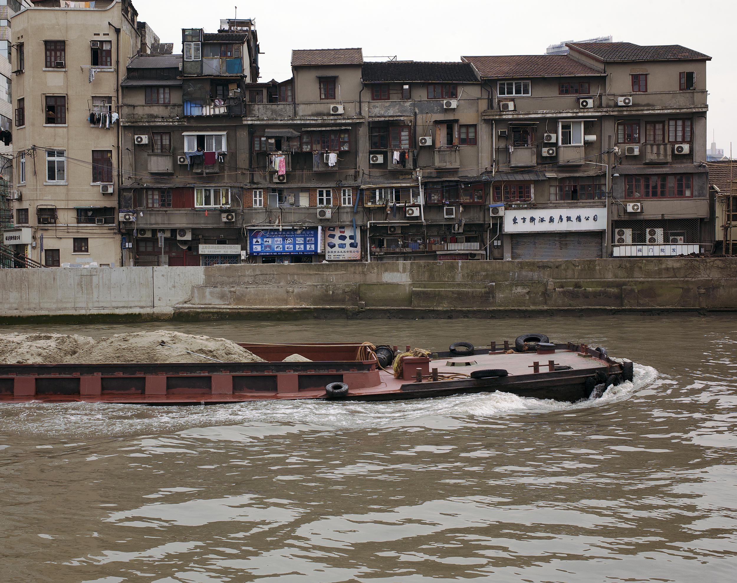
It's no surprise that cities took root near rivers, thanks to the easy transport of raw materials, finished goods, and people. International trade evolved. Merchants and ruling elites prospered. Cities flourished and grew, eventually sprawling.
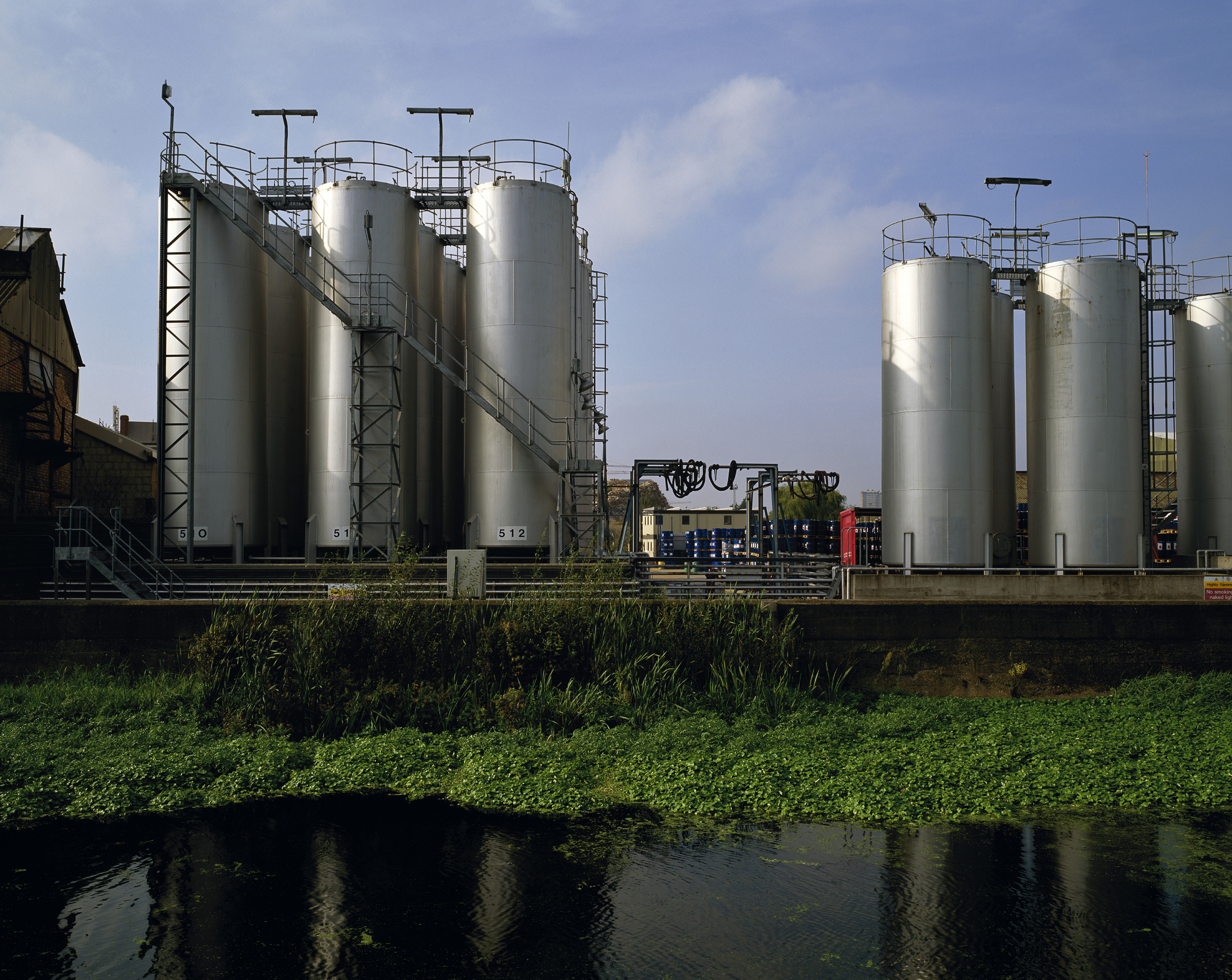
The river in its natural state was significantly altered to make way for urban growth. Piers and moorings replaced embankments. Streets and buildings covered woods and wetlands. Rivers were straightened into canals so boats could navigate easily. Sometimes rivers were even buried to get them out of the way. Eventually they became handy dumping grounds for every kind of waste. Urbanization, industrialization, and decay nearly destroyed them.
Renewal is now underway. In post-industrial cities, governments have begun reconstructing natural environments as riverside parks and tree lined pathways. Pockets of wilderness have returned due mostly to neglect or dereliction in places where industries abandoned their facilities. Nature is rebounding along neglected urban riverbanks.
Hidden Waterways is a comparative photographic survey of cycles of change in urban rivers and creeks in four world cities: Toronto, Beijing, Shanghai, and London. The waterways in these cities are in different stages of the urbanization/naturalization cycle. I’ve tried to capture similarities and contrasts in these transformations—hidden elements of economic, social, and environmental change.
Read mORe/less
Lea Valley, Three Mills, London (1900)
Source: ActiveHistory.ca
Historic Suzhou Creek, Bustling Trade Port
Source: Cultural-China.com
Don Valley, Toronto (1931)
Source: City of Toronto Archives