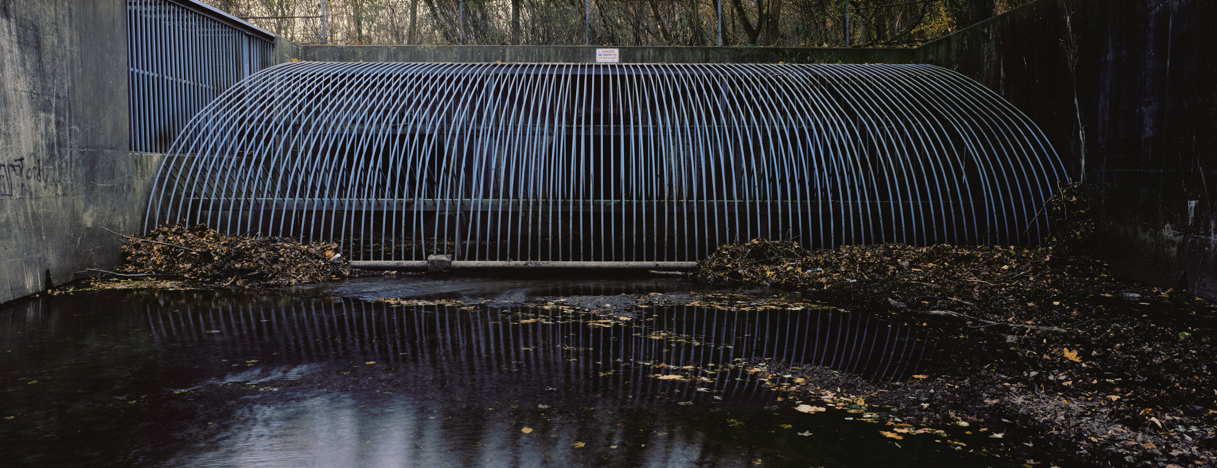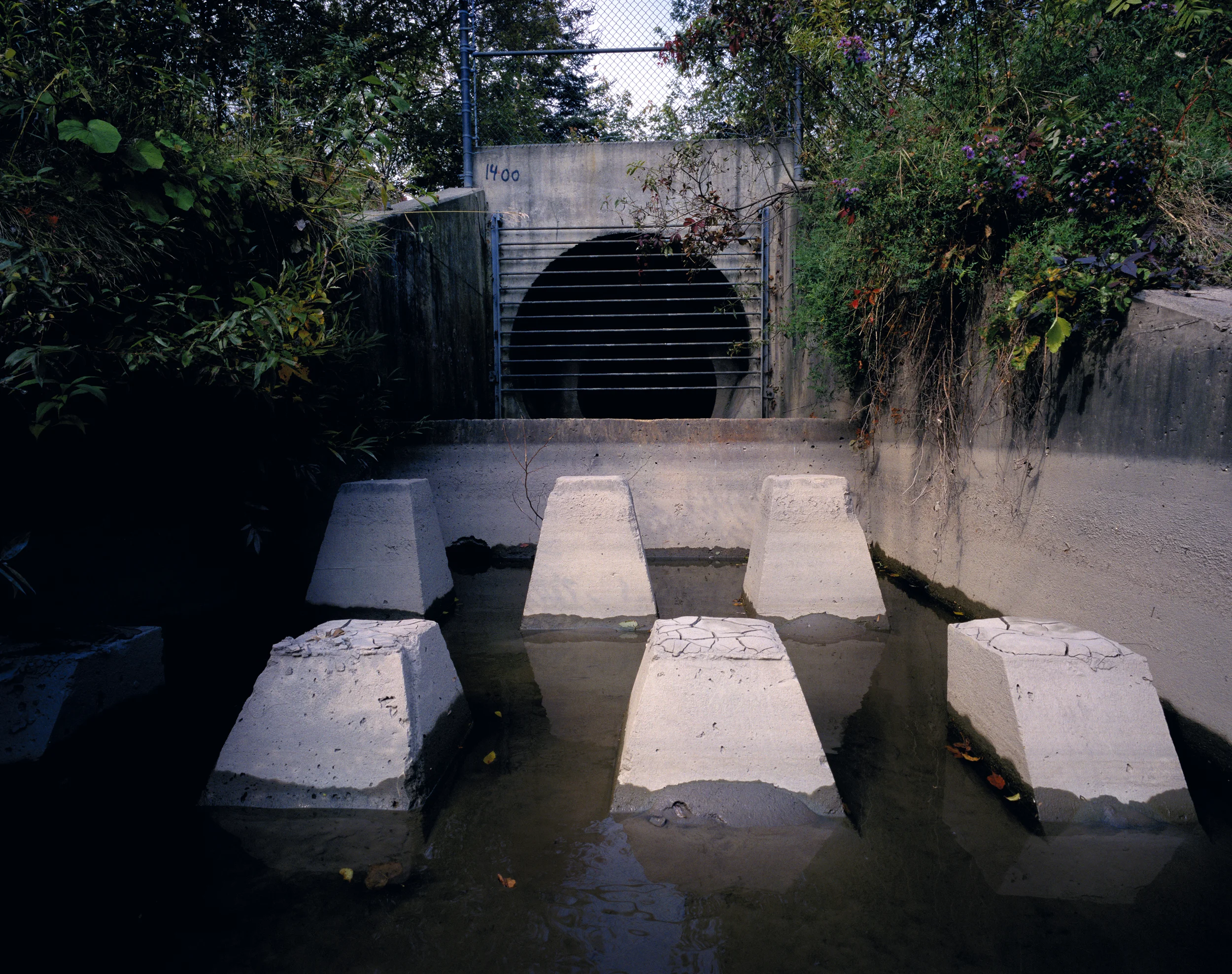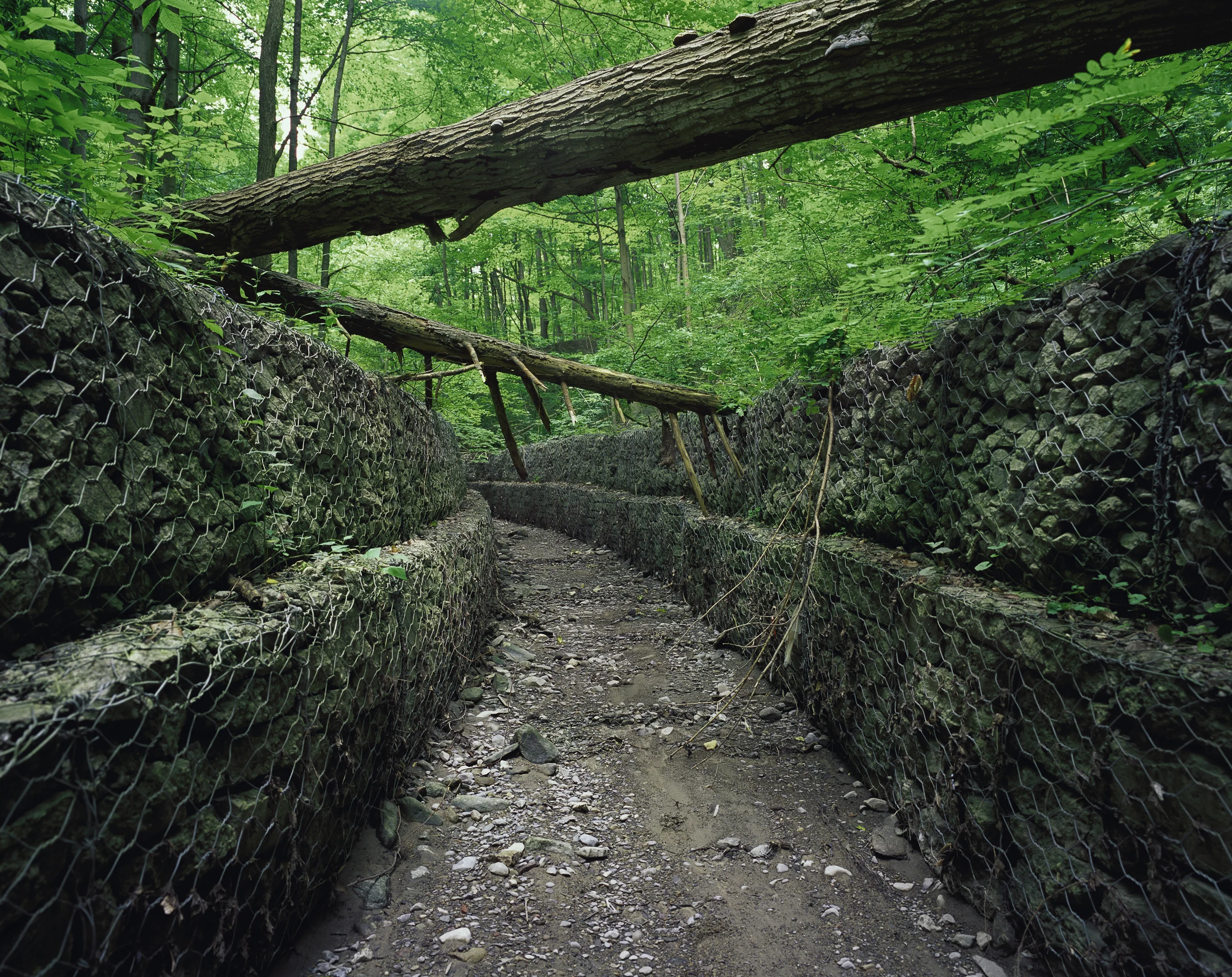

waterways
Secret Hollows, Toronto, Canada
Mile-high glaciers that melted 12,000 years ago shaped Toronto's five watersheds. Rapidly flowing melt water carved deep ravines in the glacial till, which became corridors for flood control, rail, cars, sewers, factories, and hydro lines. Steep ravine walls and high water tables prevented further development, however. Pockets of wilderness remained resilient in the ravines’ hidden hollows. Eventually, the Evergreen Foundation and other citizen-based groups stepped in and generated support for major restoration projects. Today, Toronto’s ravines have become one of the city’s most attractive assets as a livable city. A large excavation pit is now a wetland. The rivers and creeks are now recognized and named on hundreds of bridges. Dumping of debris has stopped. Planning to naturalize the mouth of the Don River is underway. Wildlife is back. Deer and coyotes sometimes startle hikers and bicyclists active in ravines near downtown.