
The marsh scape project
THE GREAT MARSH, MASSACHUSETTS, USA
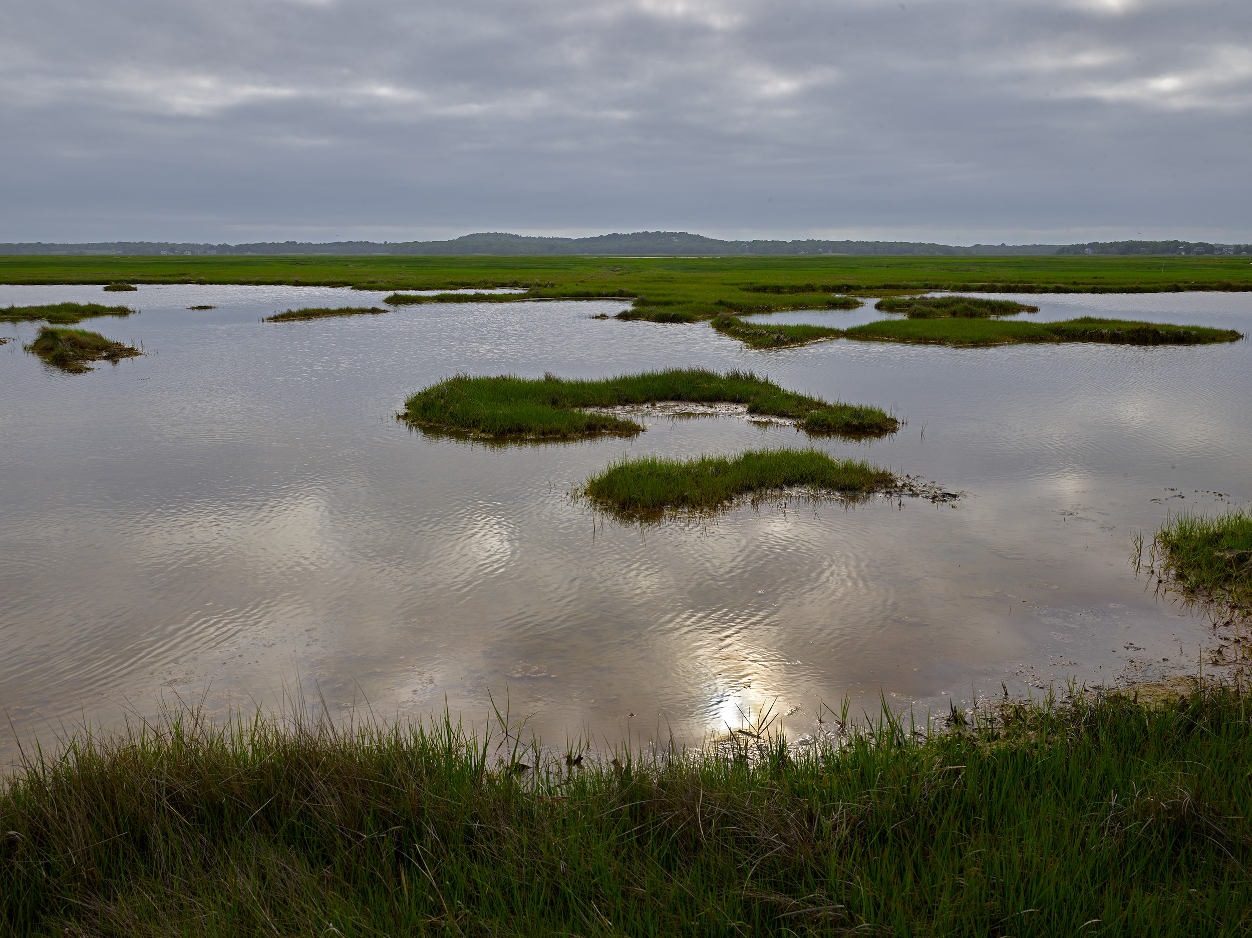
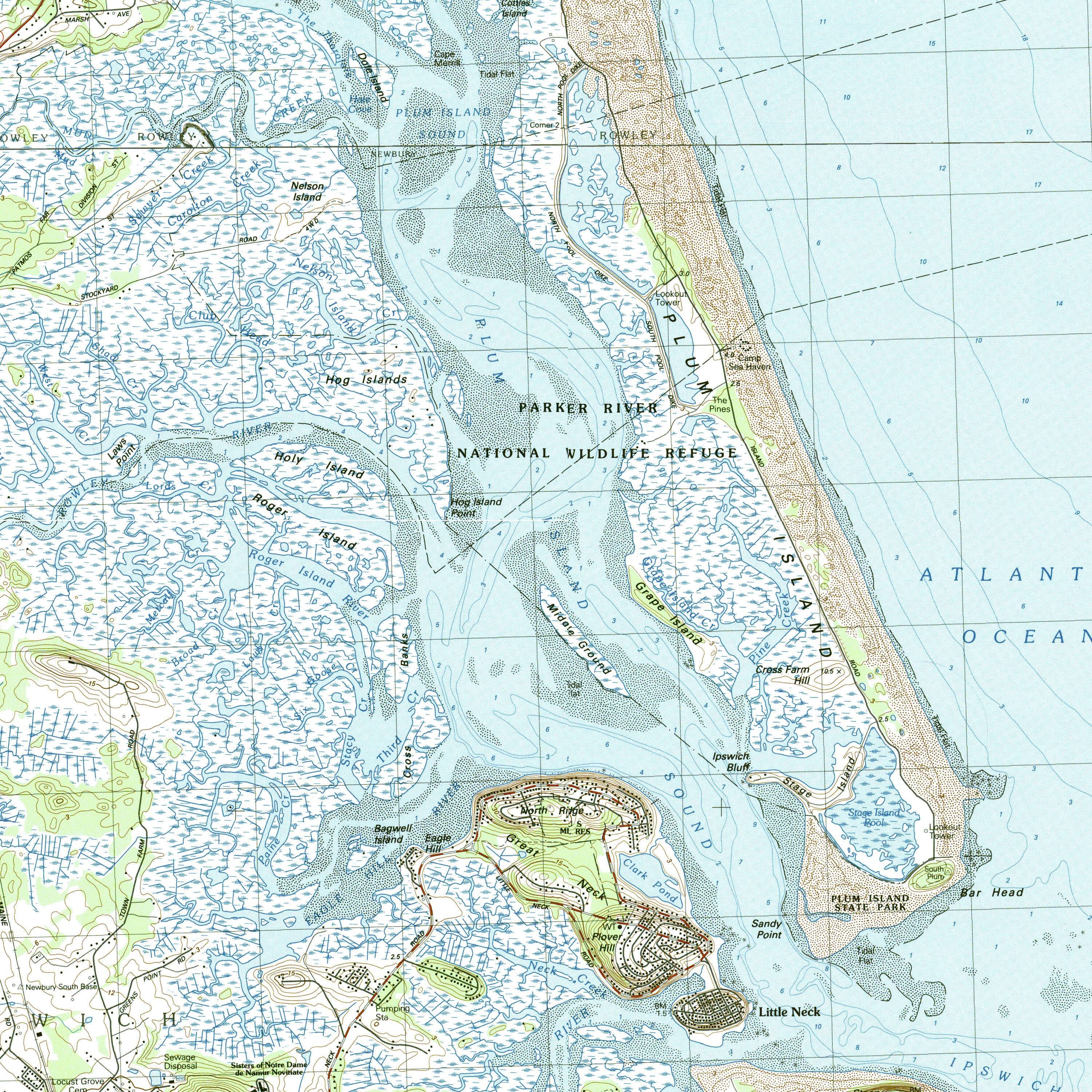
The Great Marsh is the largest salt marsh in New England. It extends from north of Boston to the New Hampshire’s Atlantic shoreline and spans over 20,000 acres. It is of unparalleled value to the northeastern states, encompassing barrier islands, beaches, and dunes that protect communities from nor’easters; tidal estuaries that support commercially fisheries; and recreational opportunities that enhance the liveability of the historic townships like Newburyport and Ipswich in the region.
READ MORE/LESS
Hurricane Sandy, which devastated the U.S. East Coast in October 2012, was a wake up call. The combination of more frequent extreme weather, increasing severe storms like Sandy, and rising sea levels is causing the Great Marsh to deteriorate. Sea level has already risen a foot since 1921, and heavy nor’easter downpours since the 1950s have deluged towns with flooding, damaging buildings and transportation infrastructure.
Fortunately, the Great Marsh’s many nature reserve designations from state agencies and the federal government have created a rallying point for local townships, state agencies, and non-government stakeholders to work together under the Great Marsh Revitalization Task Force — over many decades. The National Wildlife Federation (NWF) built on this historic effort after Sandy and created The Great Marsh Resiliency Project, producing in December 2017 a blueprint for future marsh and dune restoration projects and community adaptation planning.
Visit and donate: NWF’s The Great Marsh Resiliency Project is a model for citizen action to prepare the region for the future. https://www.nwf.org/en/Educational-Resources/Reports/2017/12-01-2017-Great-Marsh-Adaptation-Plan. The Parker-Ipswich-Essex Rivers Restoration Partnership is spearheading protection and restoration of the Great Marsh region between the Merrimack River and Cape Ann: http://www.pie-rivers.org.